

Day 1
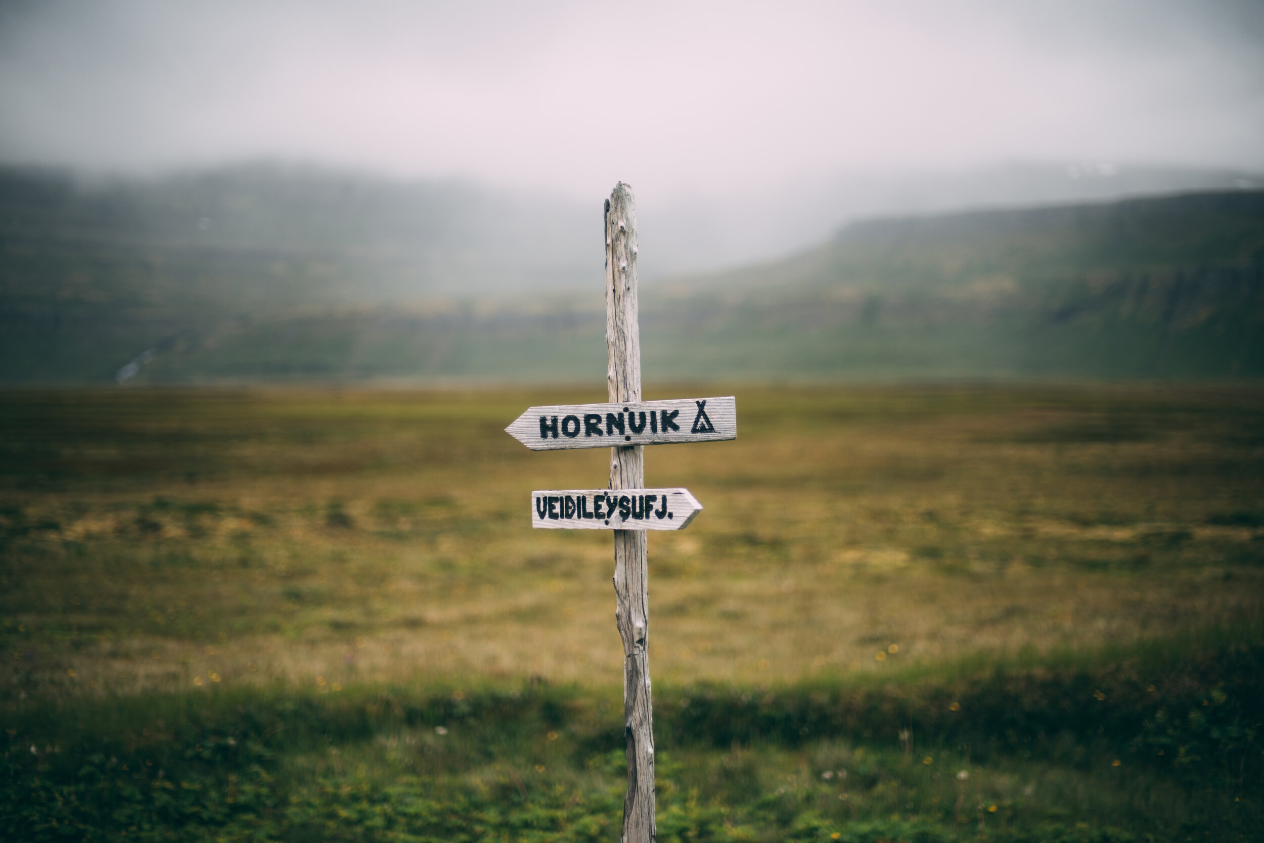
Ísafjörður - Veiðileysufjörður
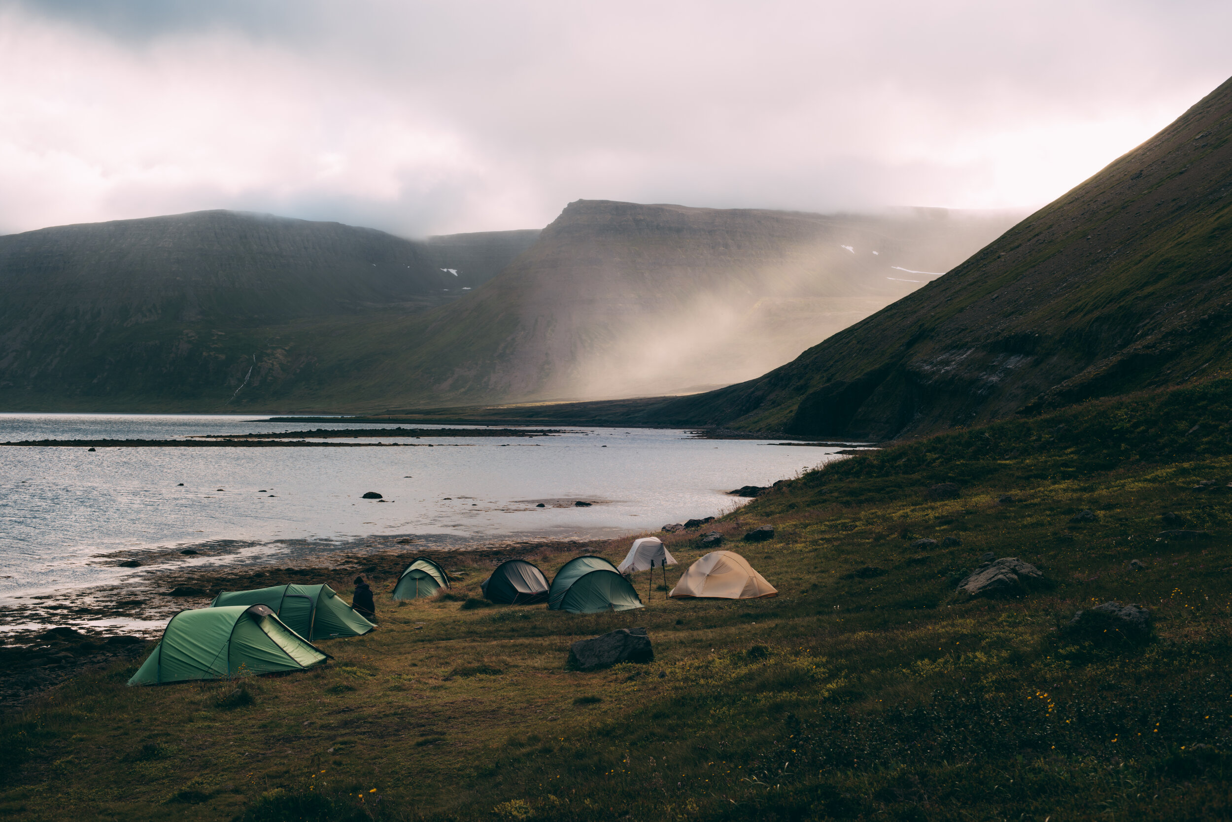
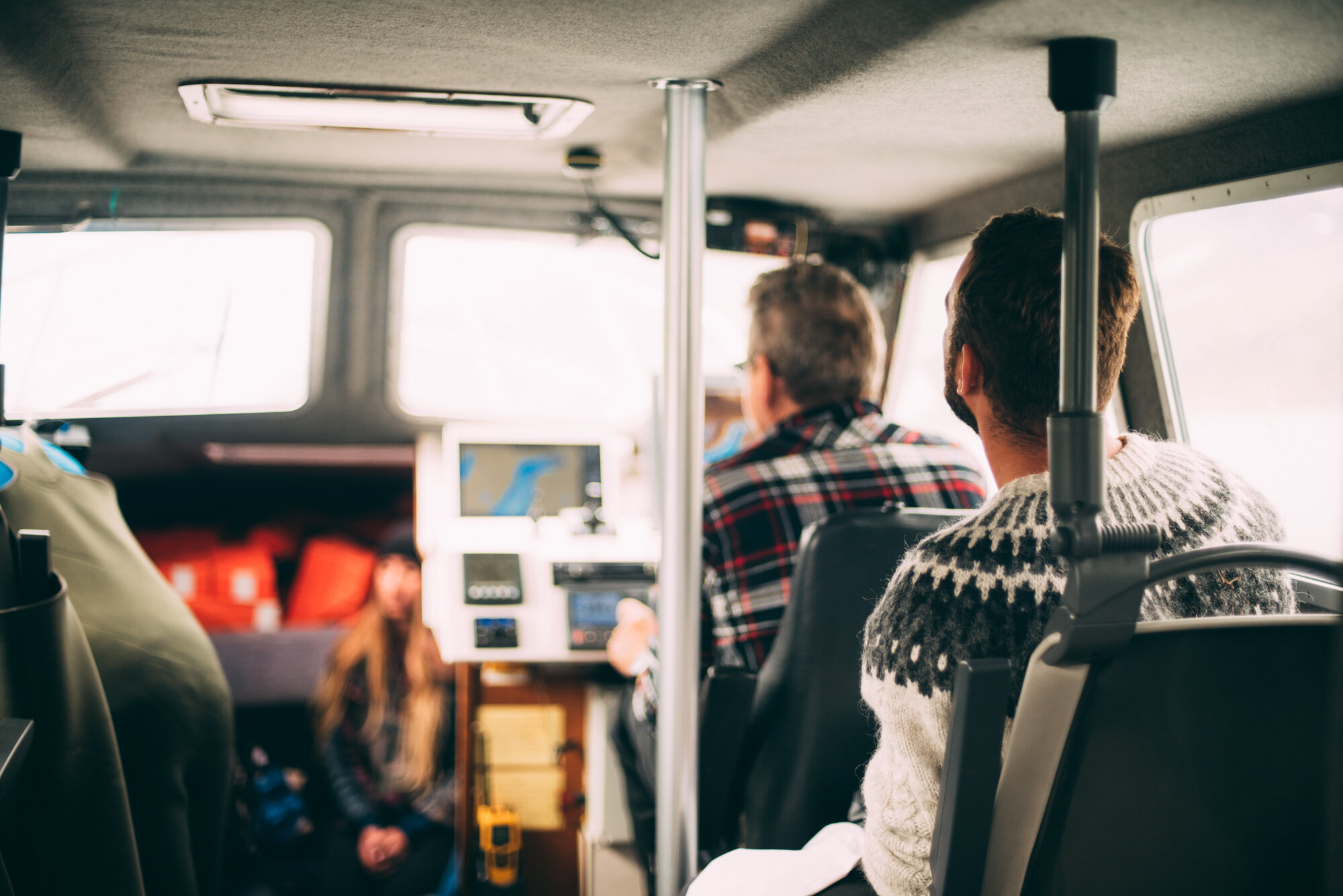
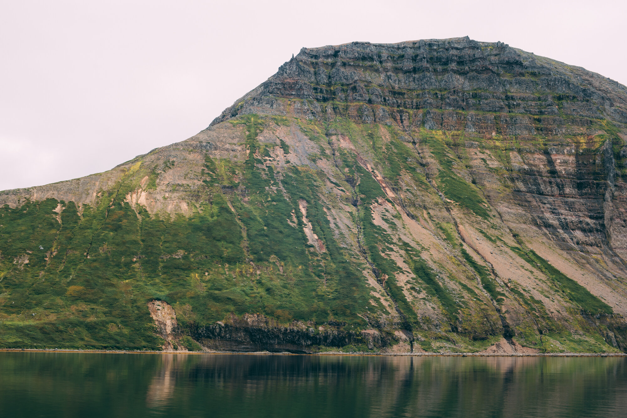
Our hike started in the harbour of Ísafjörður, where we waited for the boat to take us to Veyðileysufjörður in the Hornstrandir Nature Reserve. The boat trip was fine as the weather was calm. We even saw some humpback whales just out of Ísafjörður. After an hour or so at sea we arrived in Veiðileysurfjörður and we were dropped off by a small zodiak. We kept our feet dry and decided to pitch our tents at the dedicated campsite at Veiðileysufjörður, between other tents. This campsite also had a toilet cabin, with a view if you were willing to risk giving up your privacy to potential passer-by’s.
Day 2
Veiðileysufjörður - Höfn
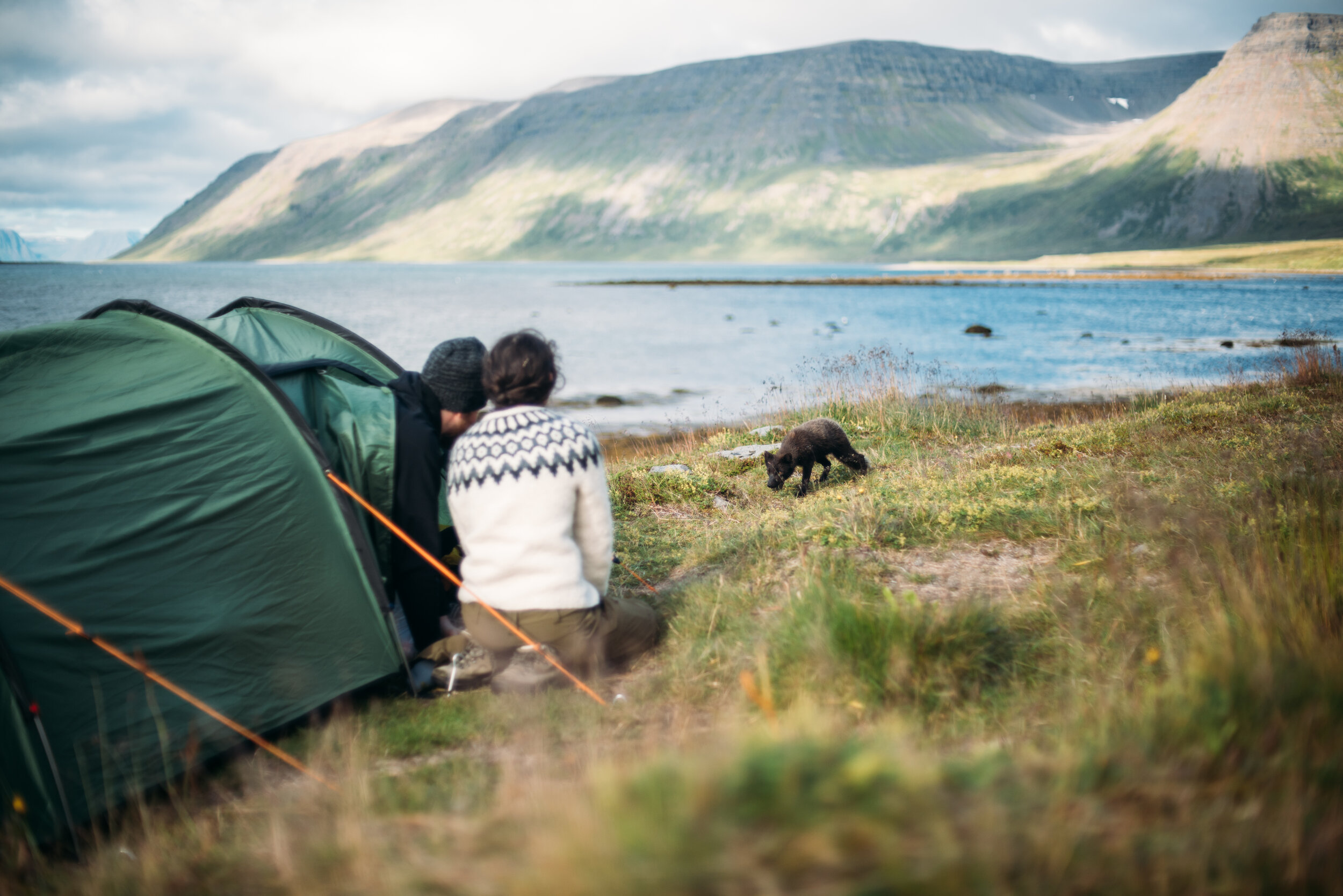
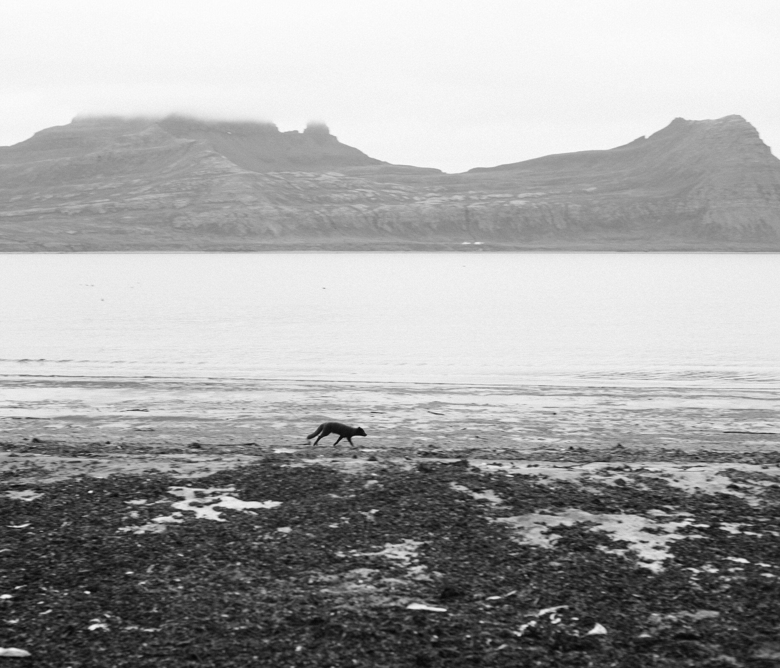
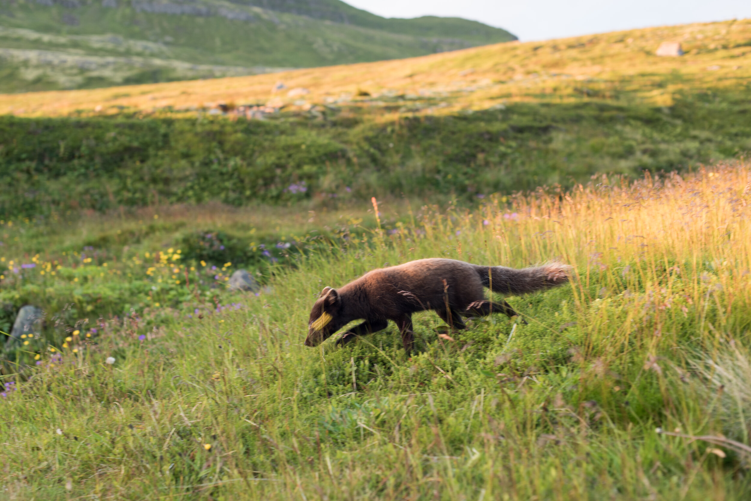
As we were travelling in a group and not planning crazy long etappes, we took it easy. That paid off in the morning as we spotted our first Arctic fox. It was super curious and came checking us out, maybe hoping to find something eatable.
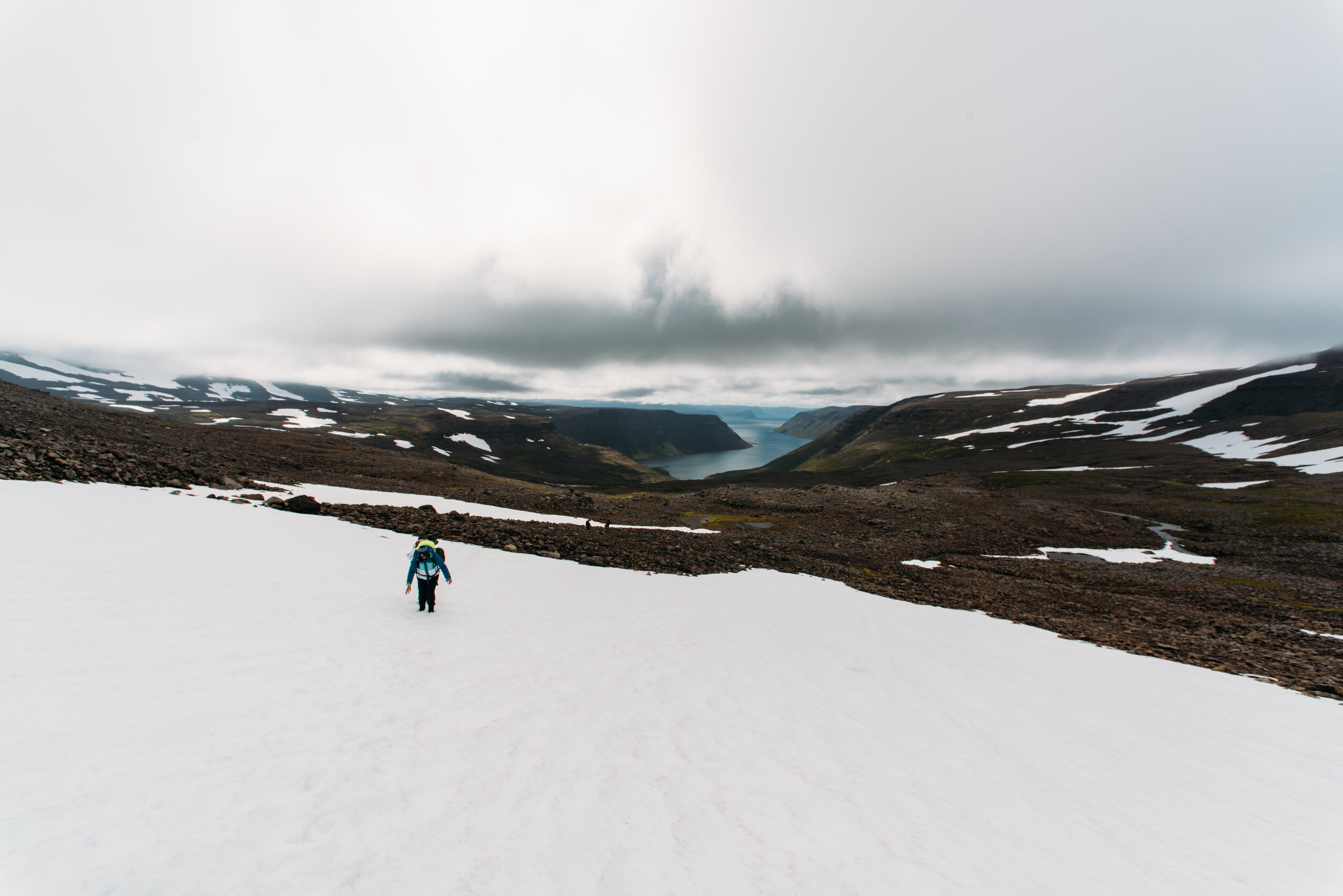
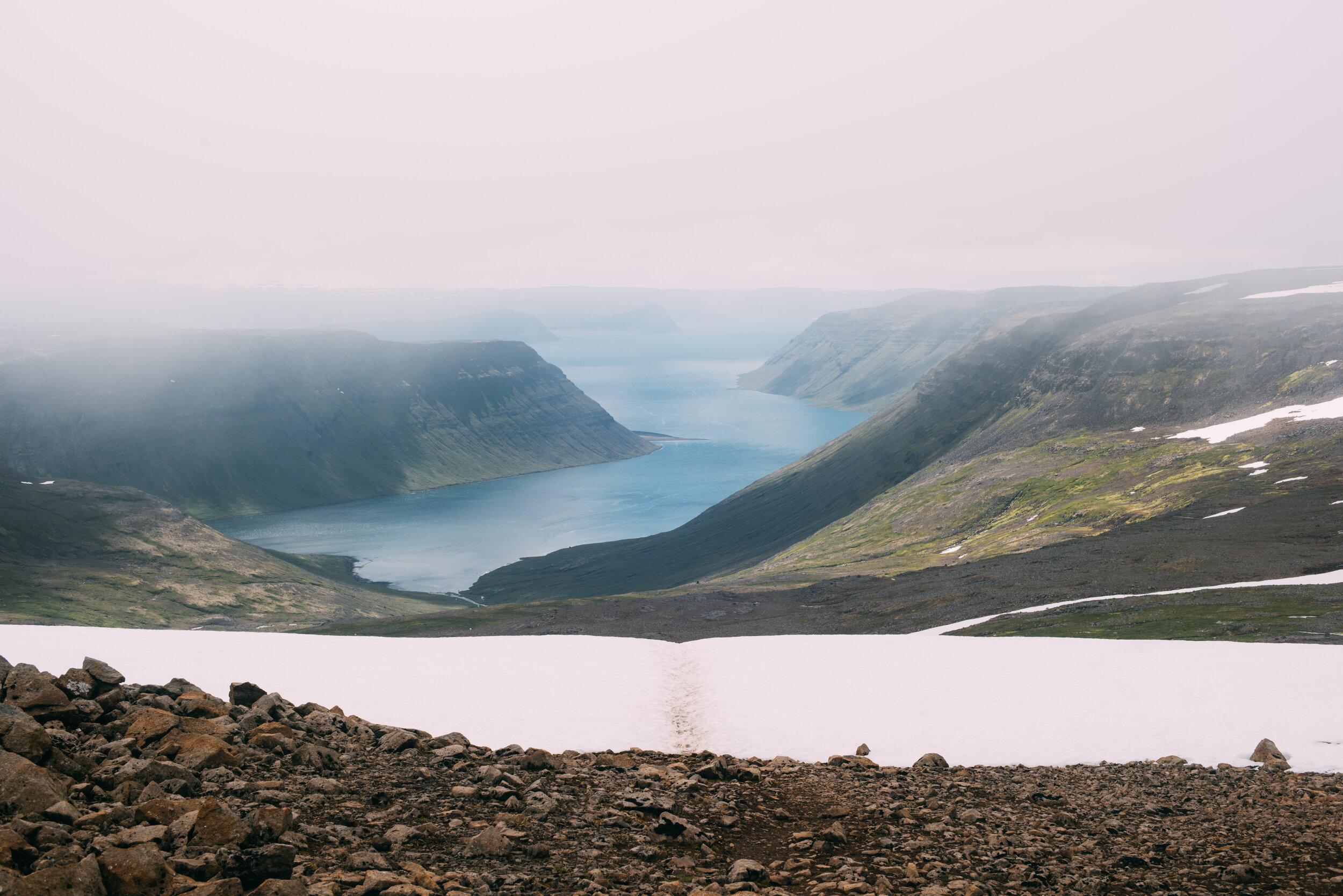
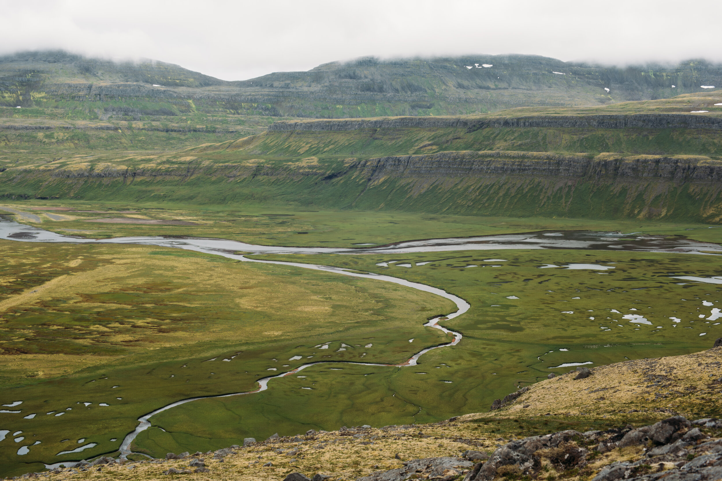
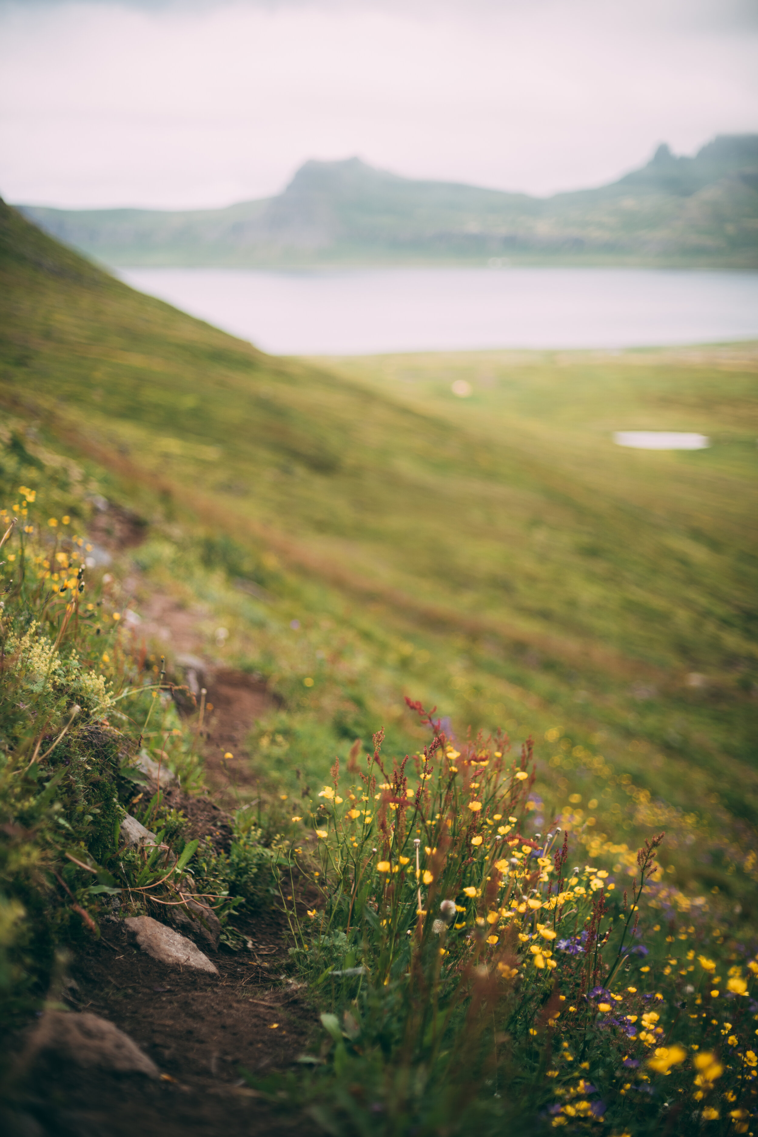
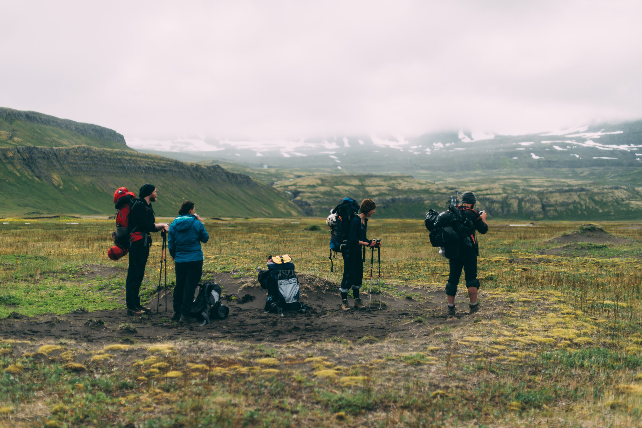
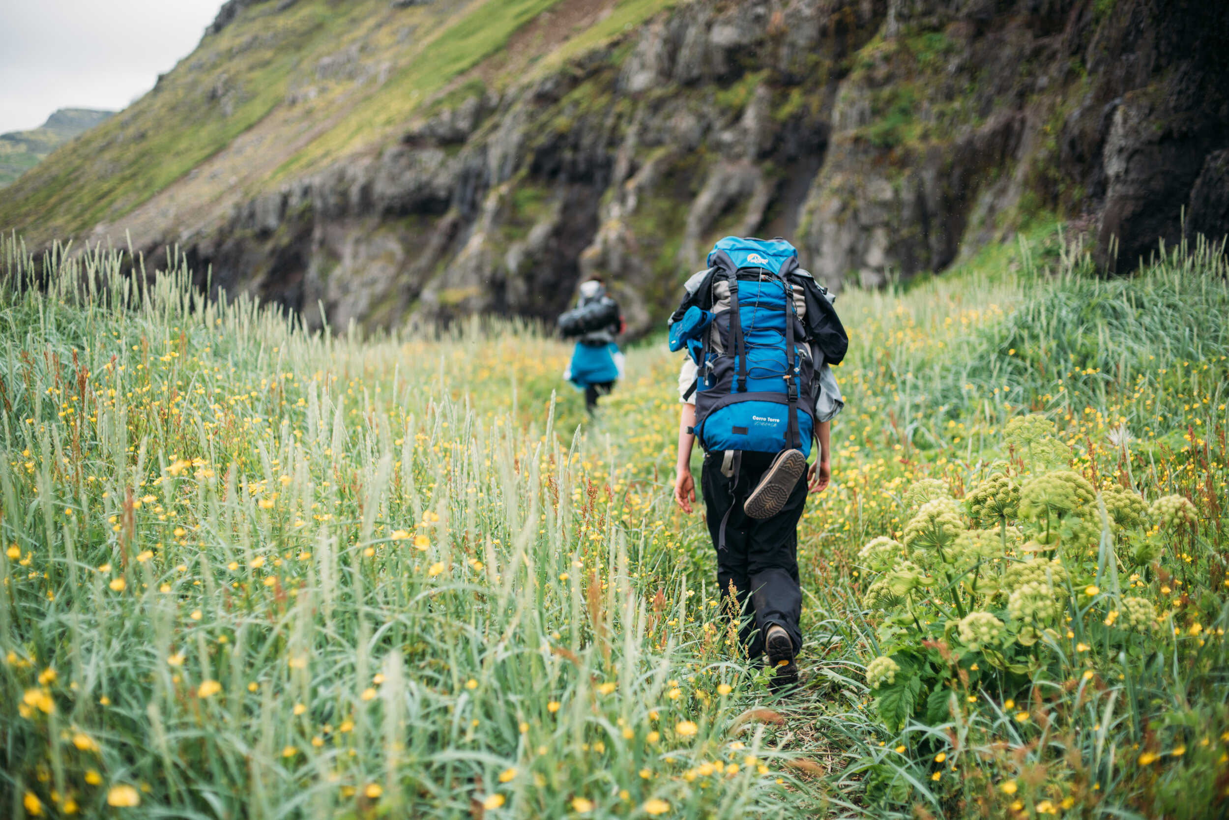
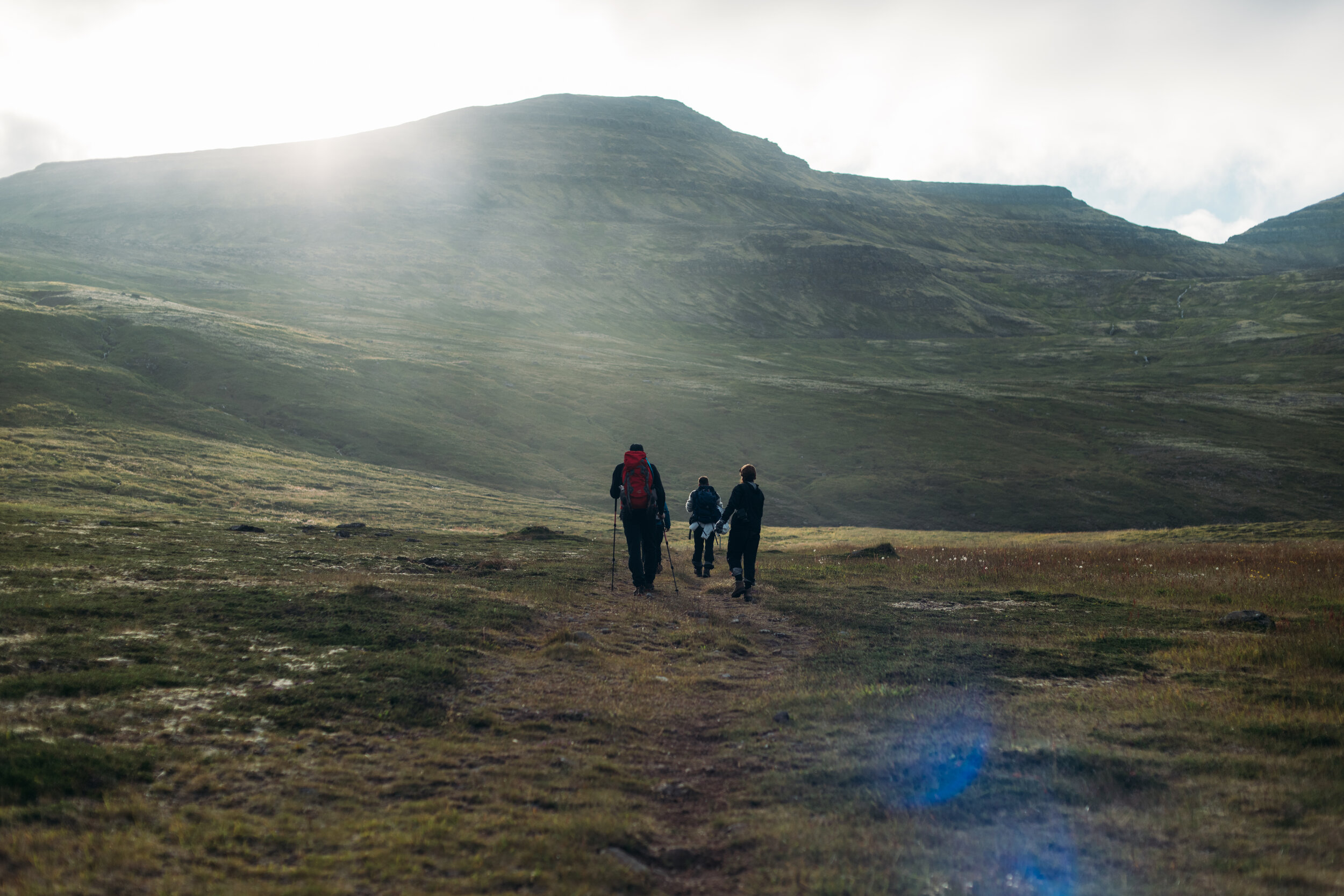
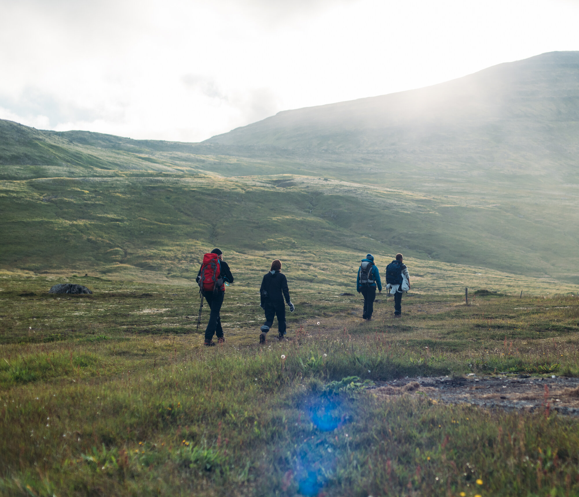
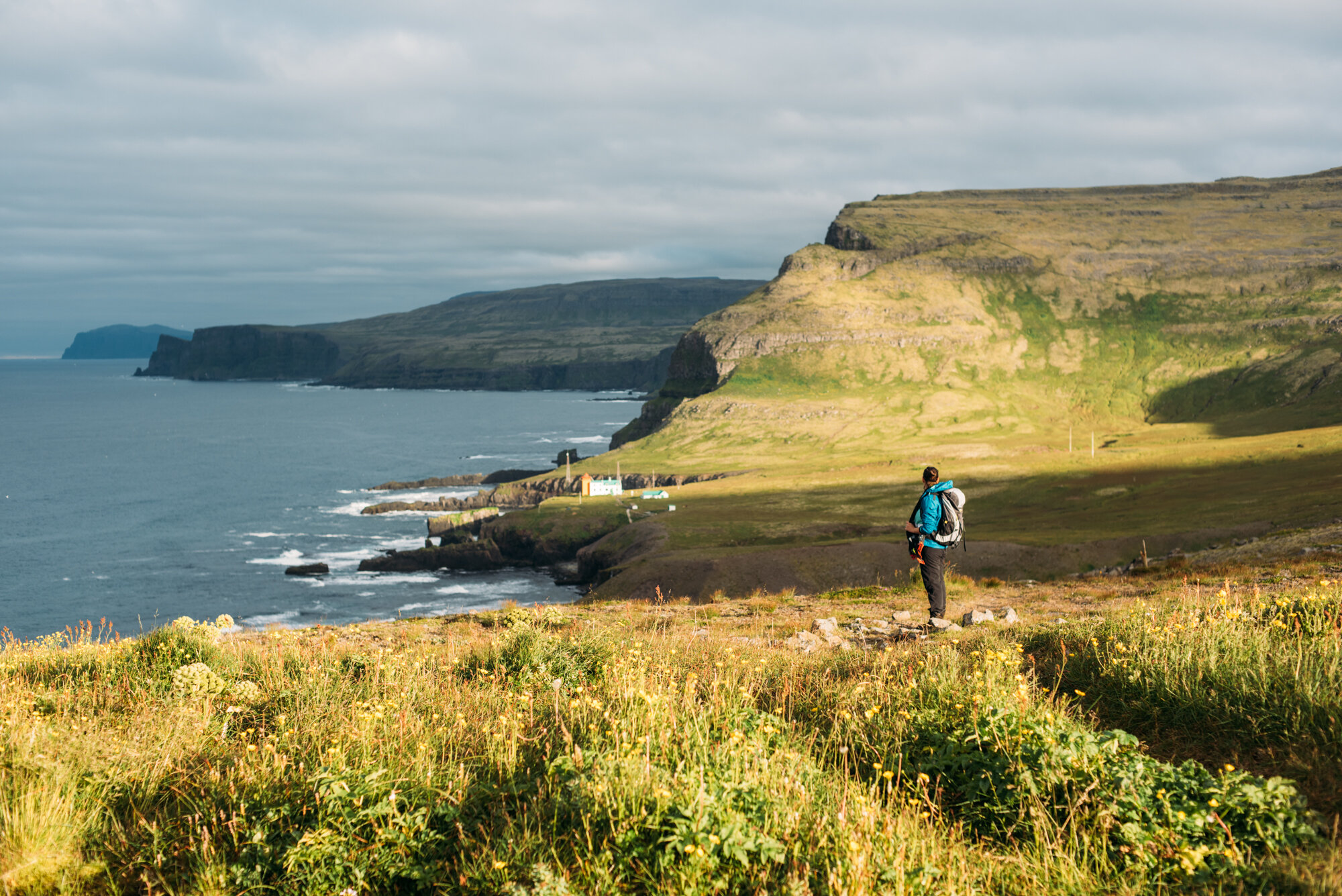
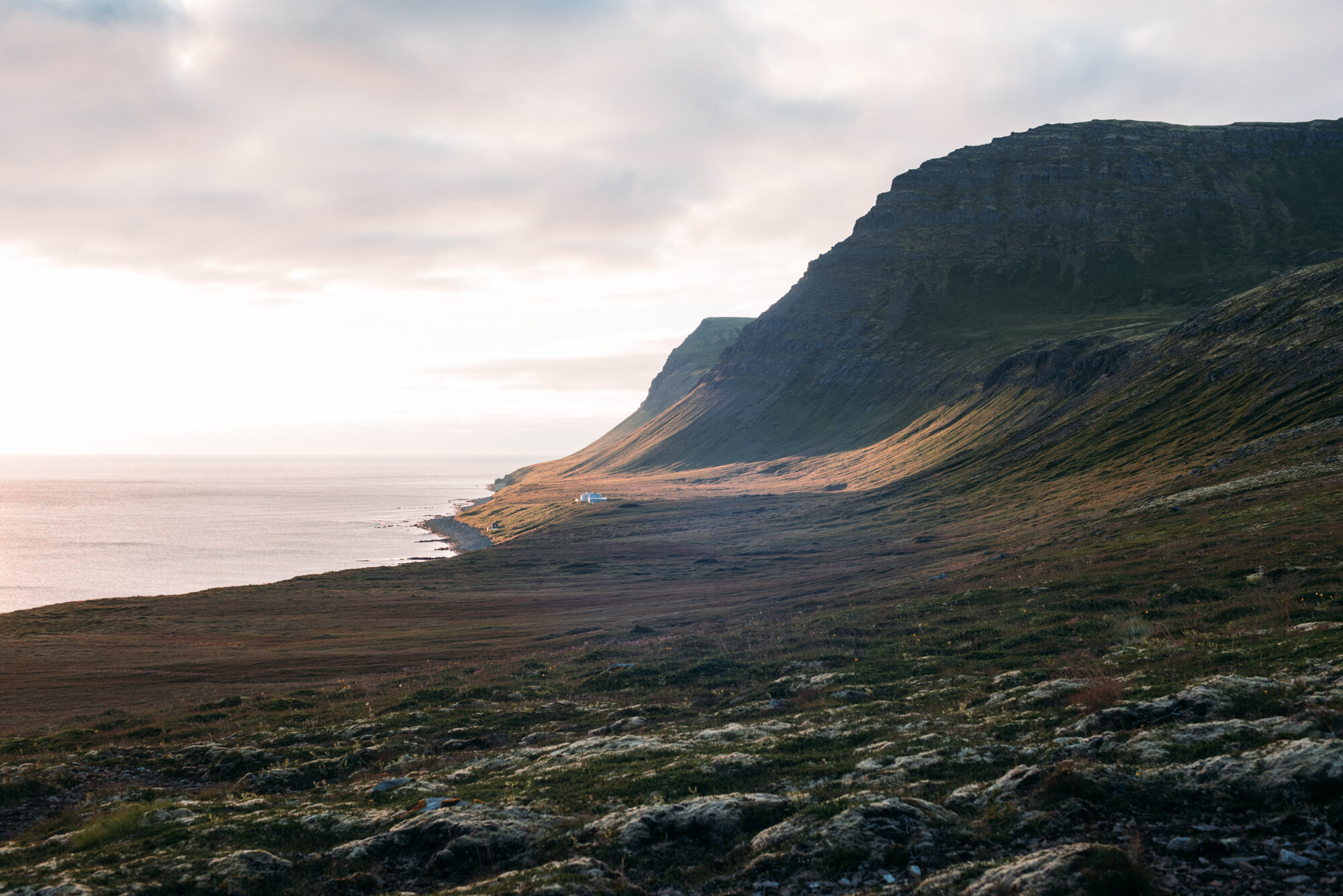
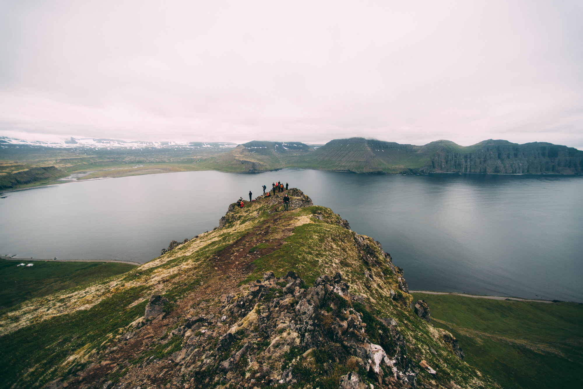
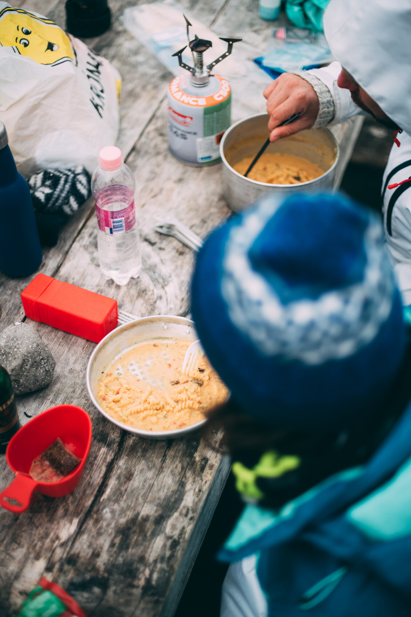
The trail started with a long climb (500 m) to a mountain pass southeast of Hafnarfjall. We took a break before the trail went over steep snow fields and ate harðfiskur (dried cod) and flatbrauð with hangikjöt (flat rye bread with smoked lamb), and home-made hummus. The mountain pass was windy and so we continued downhill towards Höfn. The trail was not always easy to find at the higher elevations, but the stone cairns were clearly visible. Just before the last descend, we got a big view over the valley with meandering streams and a small air strip. The vegetation here - not grazed by sheep - is very lush. We camped at Höfn, where the Hornstrandir rangers have a hut and multiple foxes roamed around.
Day 3
Höfn - Hornbjargsvíti - Hornsá
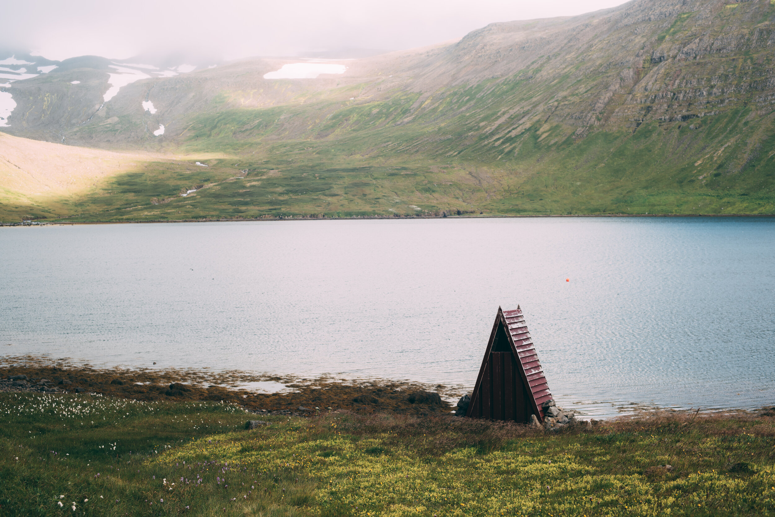
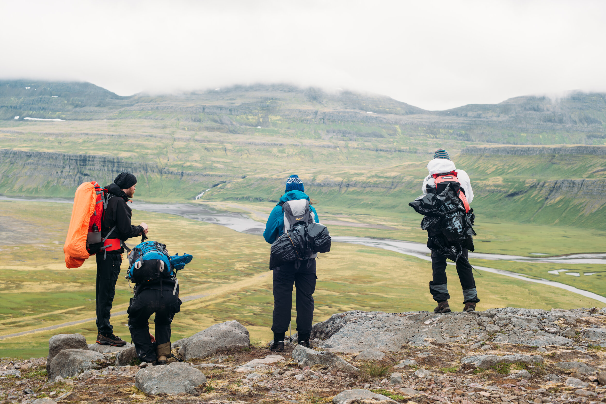
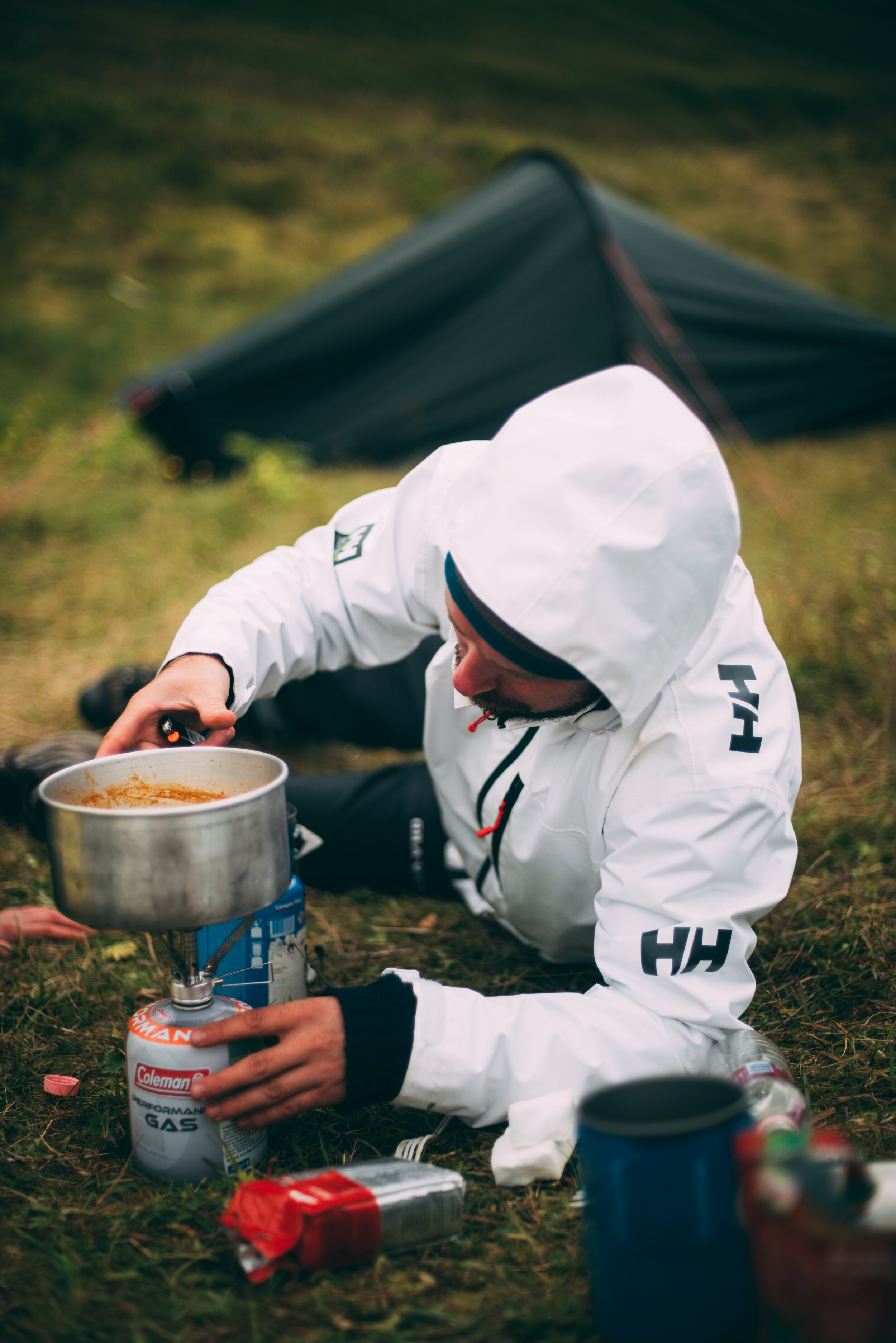
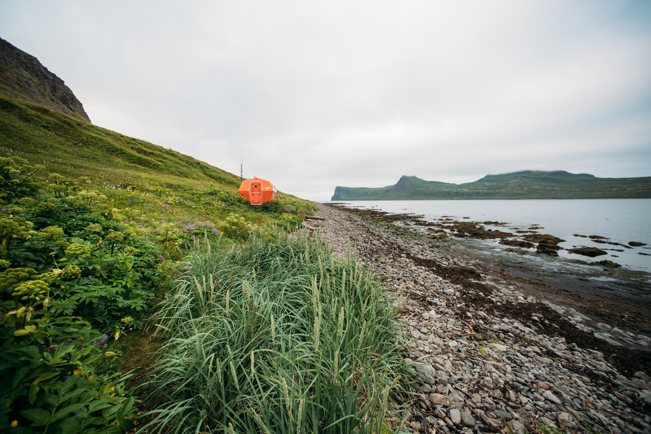
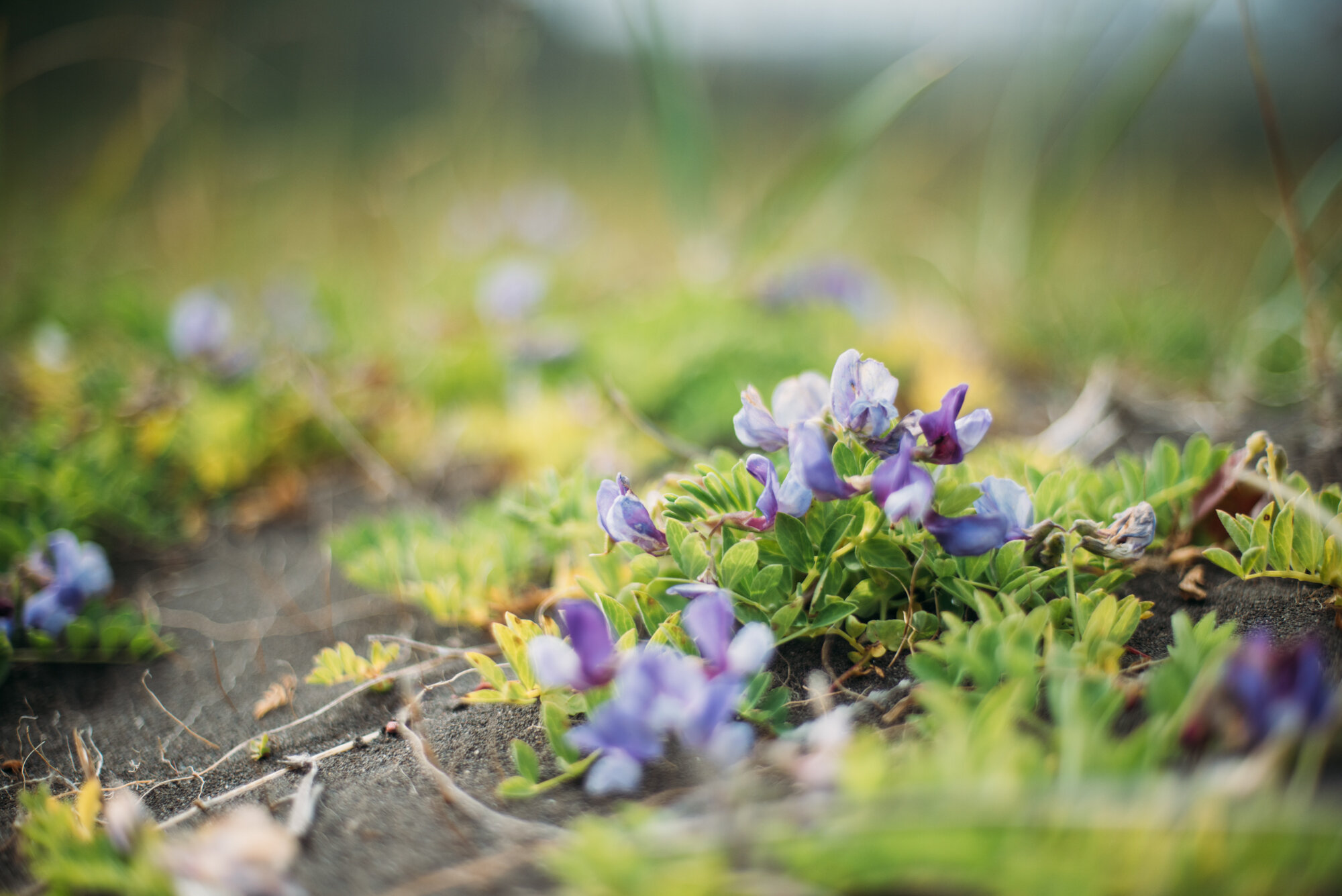
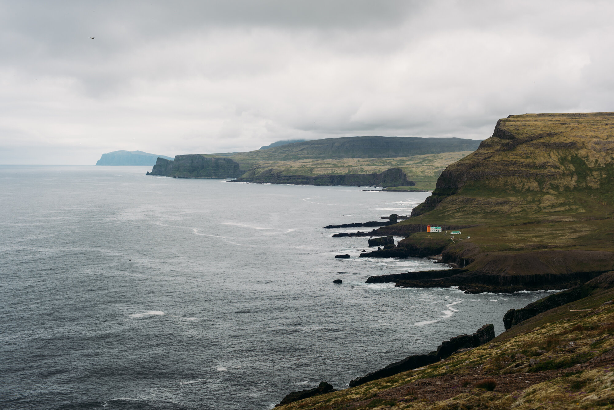
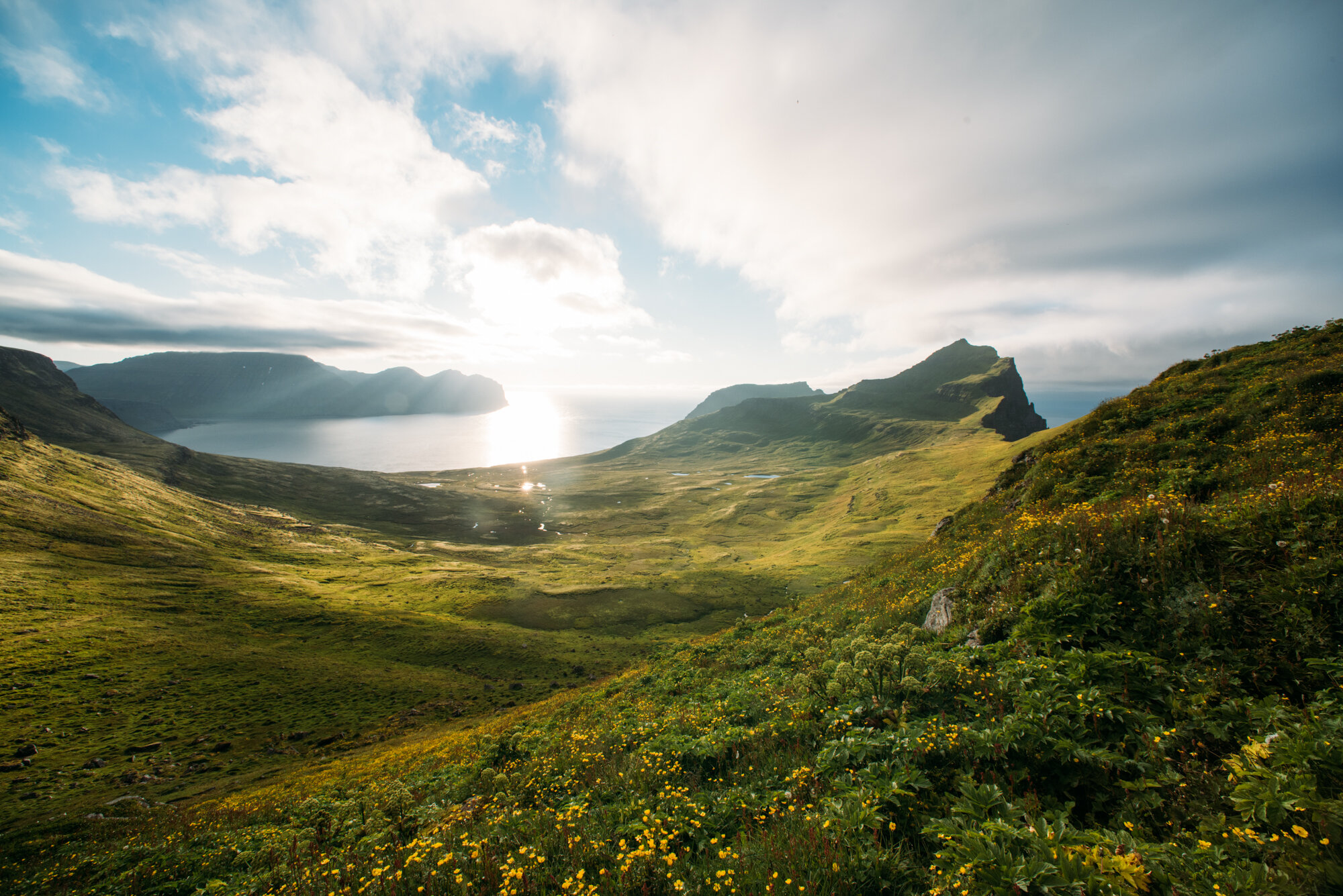
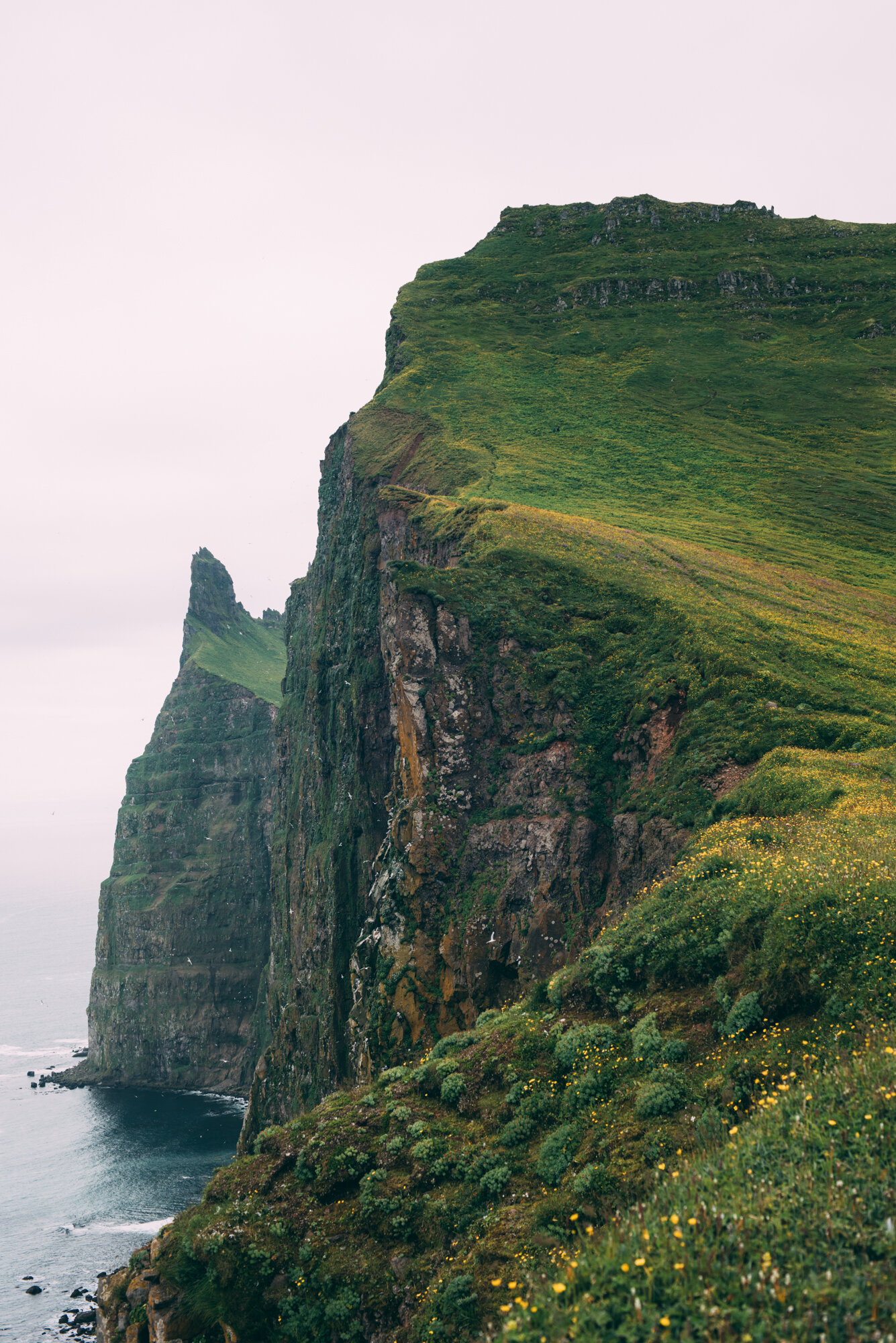
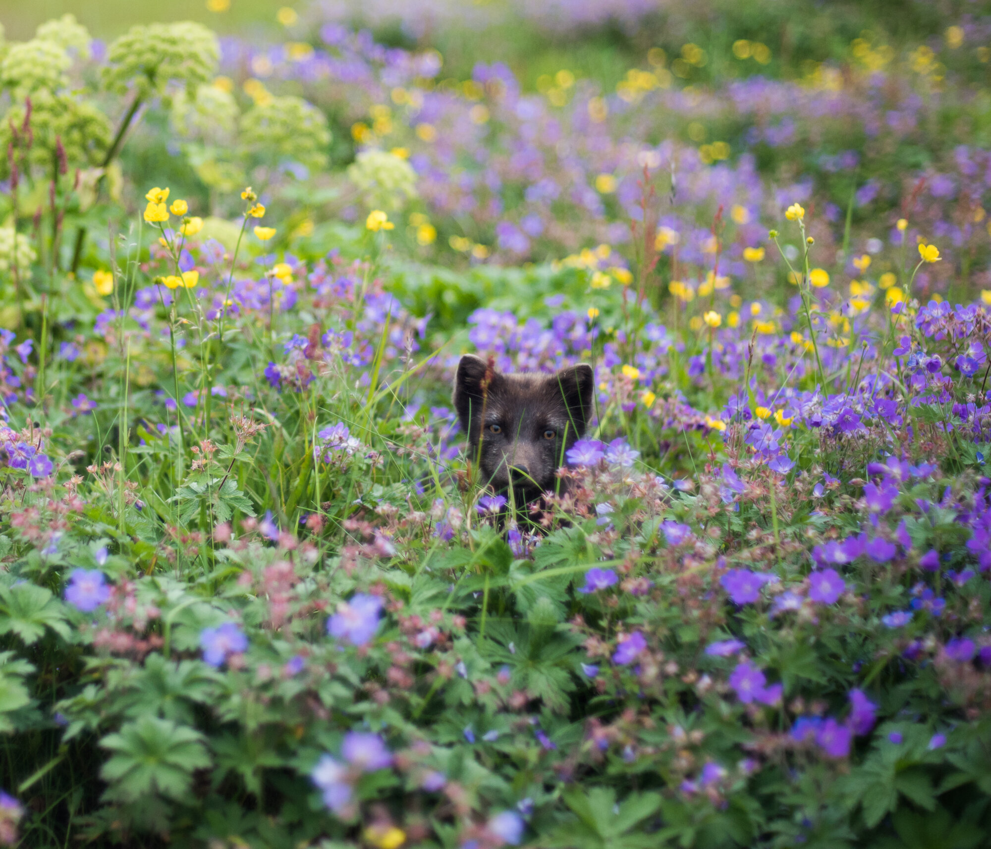
On day 3, we basically made a base-camp just 5 km from Höfn, at Hornsá on the other side of the bay. We had to cross one river, which was broad, but easily passable. After pitching the tents, we packed some light backpacks to hike to Hornbjargsvíti. We had heard that we could get freshly baked waffles there. We hiked up again, over a 300 m high pass, to be greeted with an amazing view over the next bays and stunning cliffs with water falling straight into the ocean. There, with no road access, was Hornbjargsvíti, a lighthouse and mountain hut at the same time, surrounded by fields of Wood Crane’s-bills and Meadow Buttercups. There was nobody when we arrived, but we saw a small boat at sea with people fishing. We decided to go in and wait. We waited for a long time, checked out the collection of books and maps and played scrabble. And then the hut wardens came back with their fish and made waffles for us and coffee. We could see Arctic fox puppies playing outside.
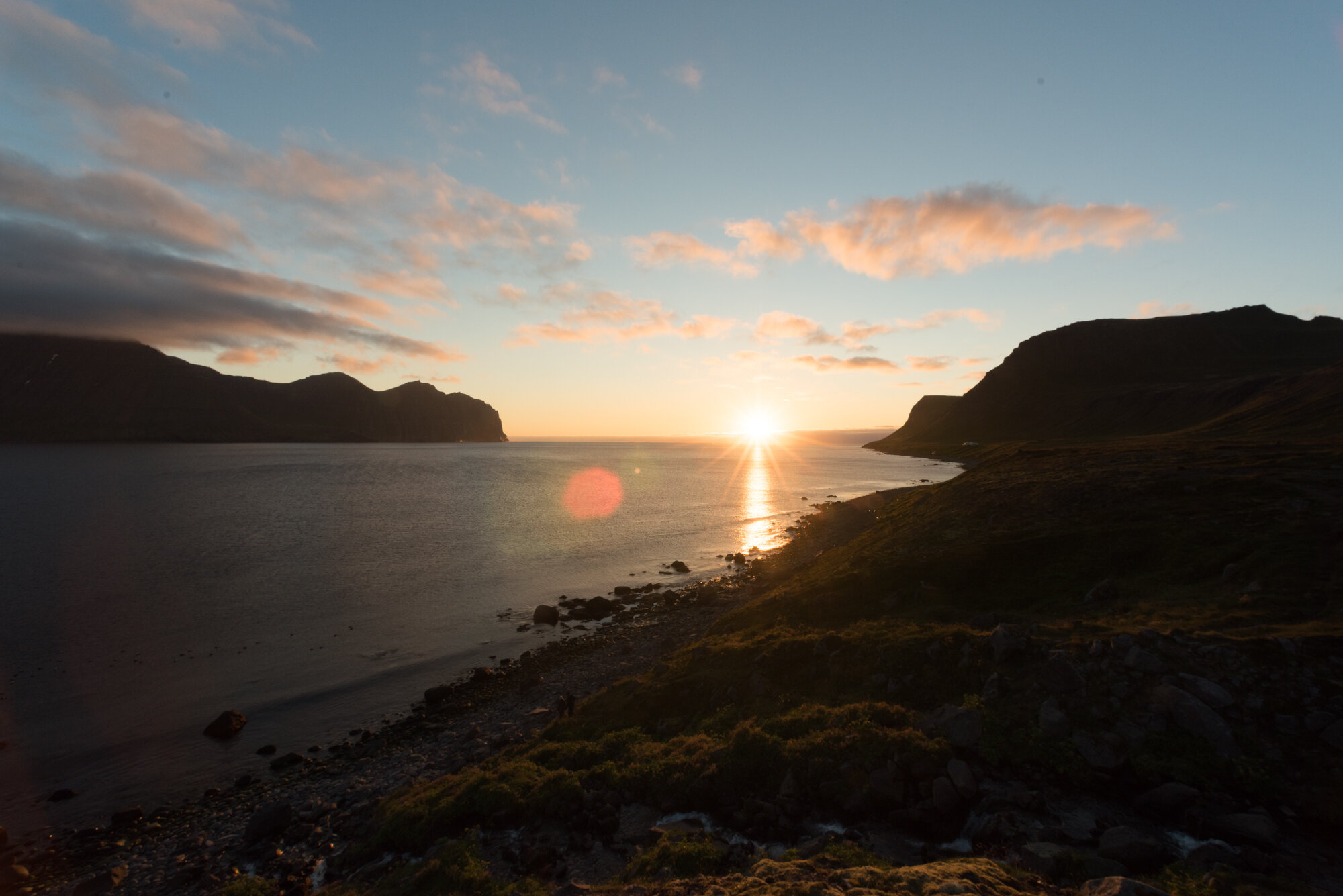
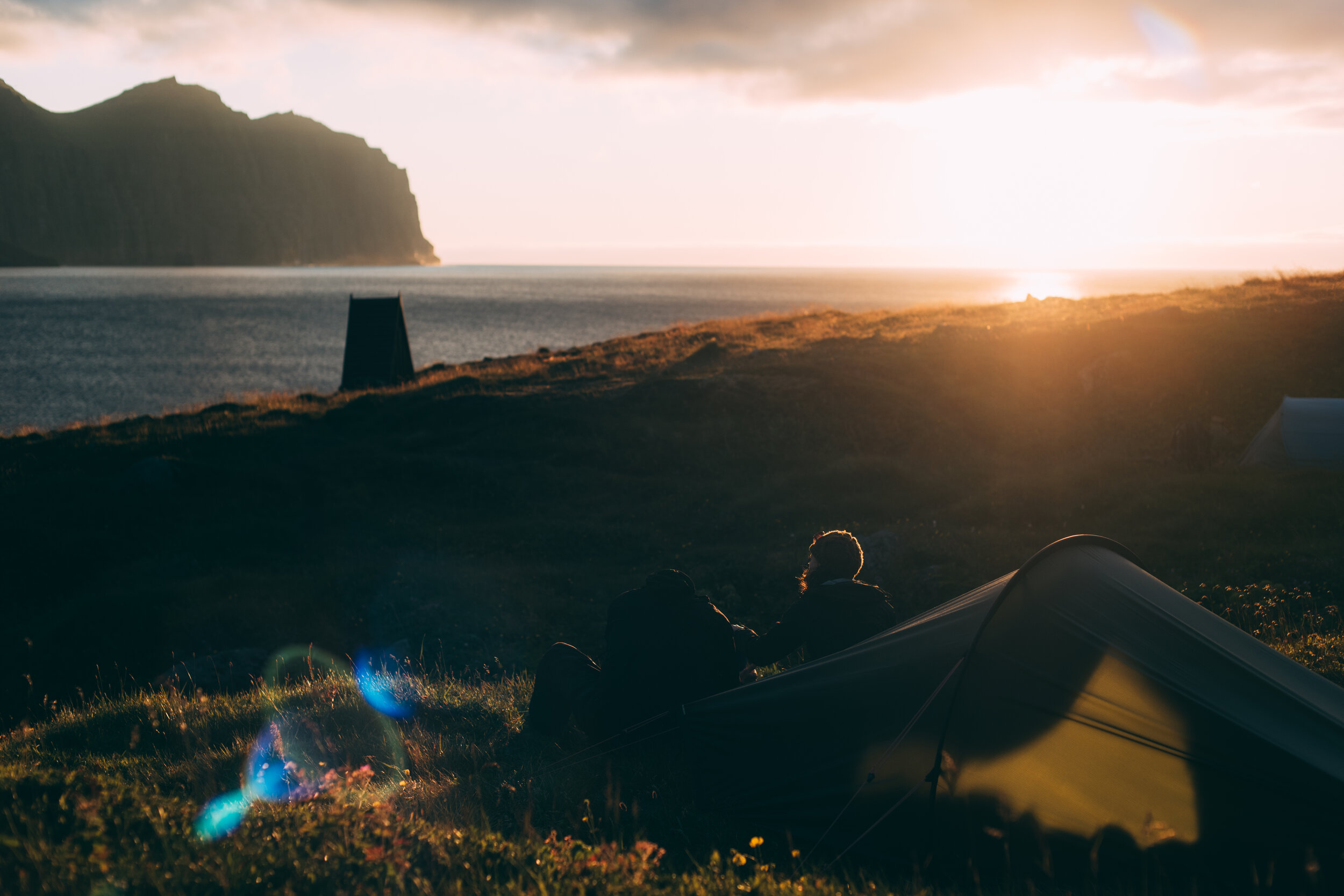
On the way back to our tents, the weather improved and we got a beautiful sunset, as well as an Arctic fox visiting our campsite.
Day 4
Hornsá - Hornvík - Höfn
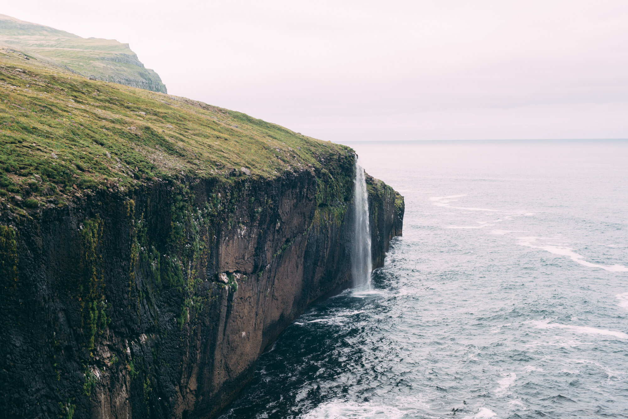
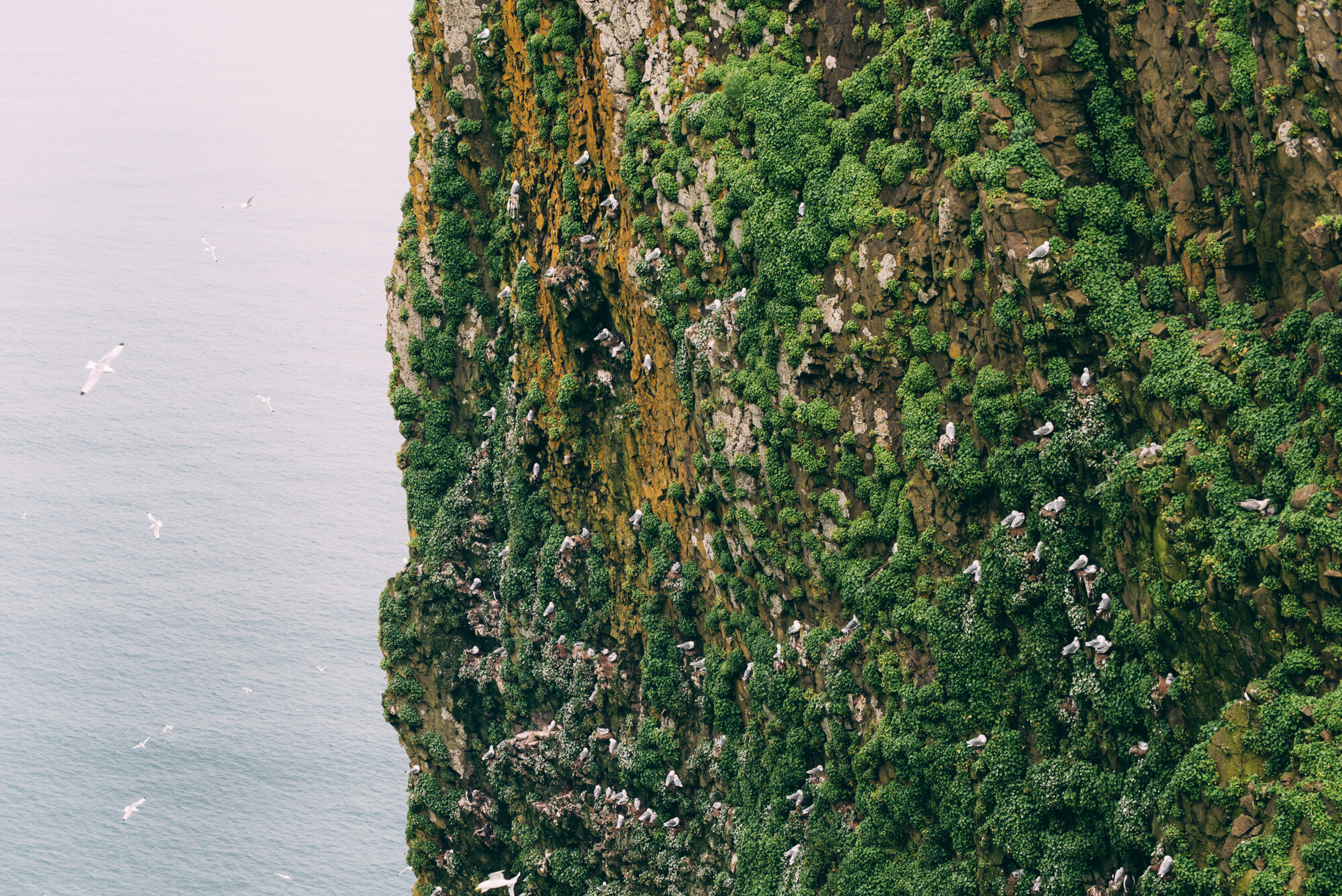
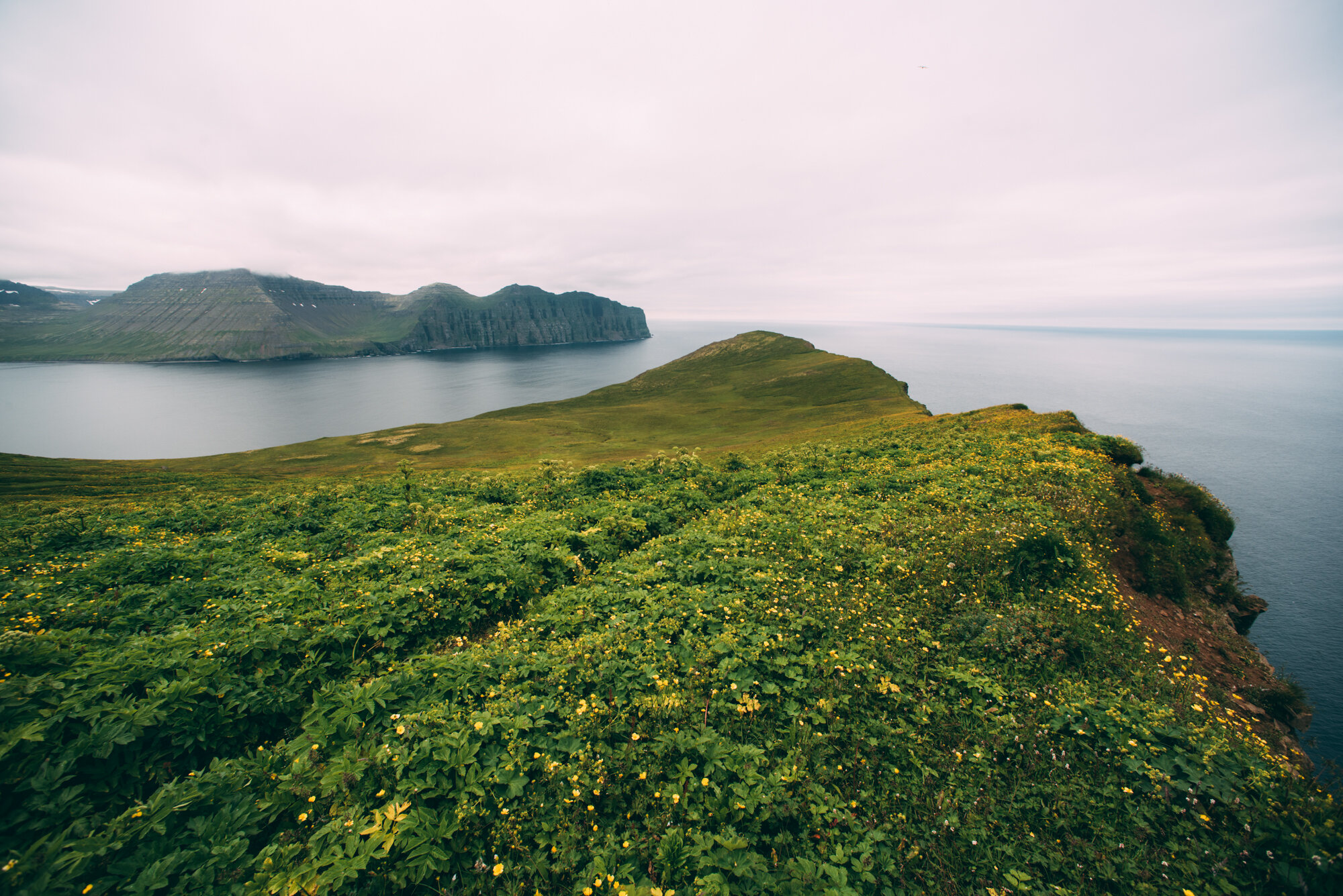
To have an easy hike, we left our tents for a later moment and explored Hornbjarg. Arctic fox were barking all around us, but we couldn’t see them. The trail went up and soon we reached the tip of the cliffs were bird calls were so loud we could not understand each other. While we were enjoying our dried fruits, we met another visitor who told us he had just some carrots with him. Otherwise, half his backpack was filled by a drone, which he was planning to fly around Hornbjarg, which is prohibited without a permit. Later we saw his tent and it looked like he was sleeping under two big garbage bags. It is really amazing how visitors of Hornstrandir dare to give up their safety and risk having to be rescued. We were lucky with the conditions, but you have to be prepared for the worst in this area. Apart from this, the view over the sea and the cliffs was just amazing. Lots of kittiwakes nest on the cliffs. We walked further to a point with a view over the bay and then back down to our campsite. Then we packed and hiked back to Höfn for a last night in this region. This time, an Arctic fox visited us during dinner and stayed around, probably hoping for some leftovers.
Day 5
Höfn - Veiðileysufjörður
Last day in Hornstrandir. It was just a hike back, leaving one of the wildest (but definitely not untouched) regions of Iceland behind us. But before we were back in Ísafjörður we saw a group of white-beaked dolphins and the boat driver was happy to follow the group for a while. To end the hike we had dinner at Tjöruhúsið, maybe the best restaurant in Iceland if you like fish.
Tips
Where to sleep
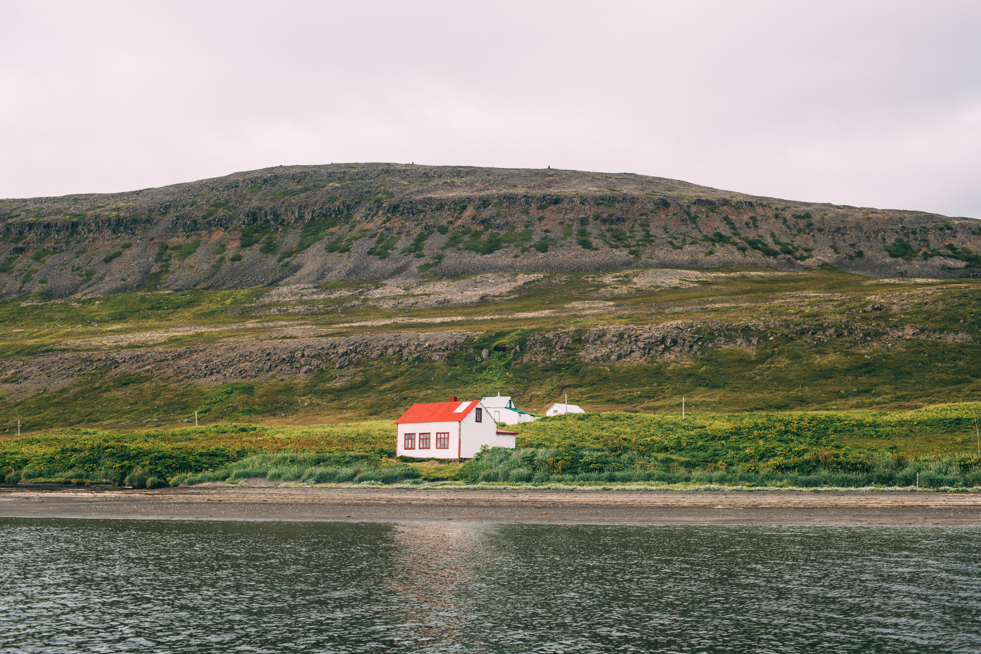
Generally, bring 3-4-season equipment when trekking in Hornstrandir and prepare for the worst. Stay at the designated campsites (wildcamping is prohibited in the nature reserve), or at the Old Doctor’s House or at the mountain hut at the lighthouse Hornbjargsvíti. Also check SafeTravel. Prepare really well and know what to do in case of an emergency. There is no infrastructure in this area and there is not always mobile phone coverage. The weather can be beautiful, but this area is also known for fog, especially on the mountain passes. A map, compass and GPS device are necessary. Respect the rules.
Maps
Maps are only available on a 1:100.000 scale.
Map 1 & Map 2
Transportation
Boats from Ísafjörður: Borea Adventures & Sjóferðir Hafsteins & Kiddýjar